The Problem with Signals
-
- Data provided by carriers, not independent survey
- Propagation maps are theoretical
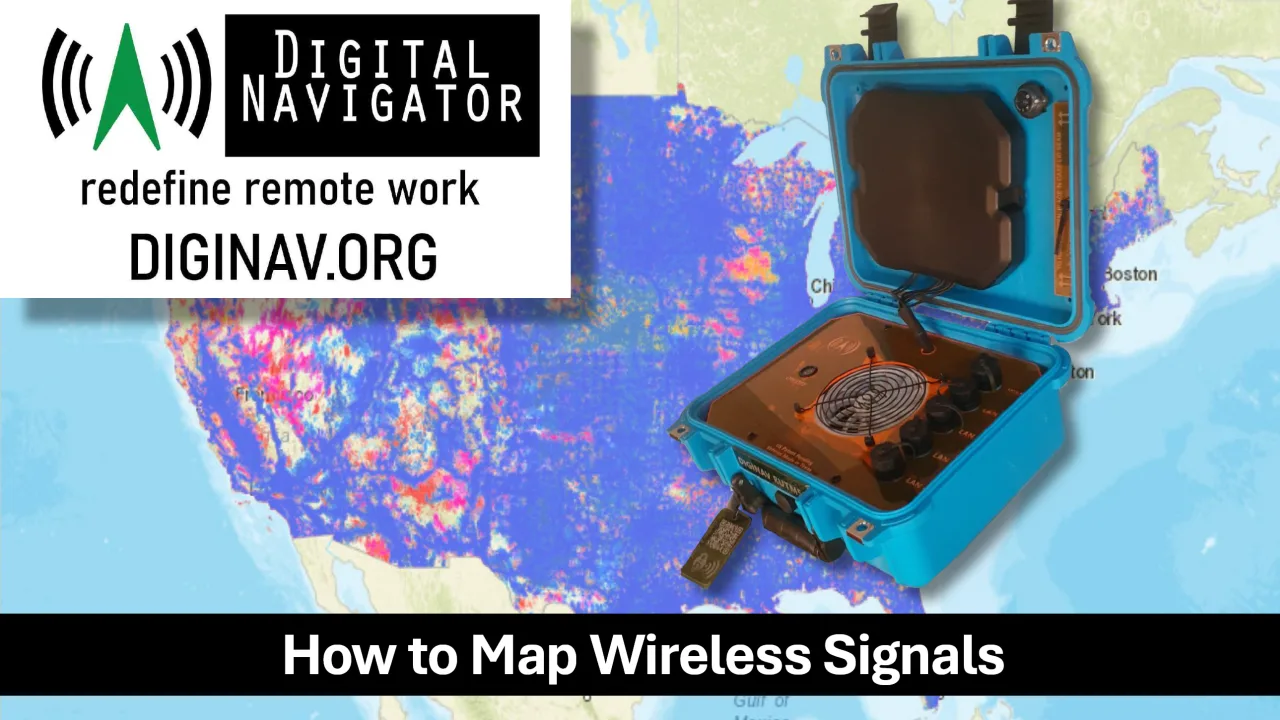
- Maps based on download speeds only
- Standard speed measured is 5 mbps down, 1 mbps up.
- Wireless data usage has exploded
- Lower income households may only have phone or tablet as primary computer
- Time of day not attributed
- Weather not factored
- No standard for measurement
- Data difficult to use in comparative analysis
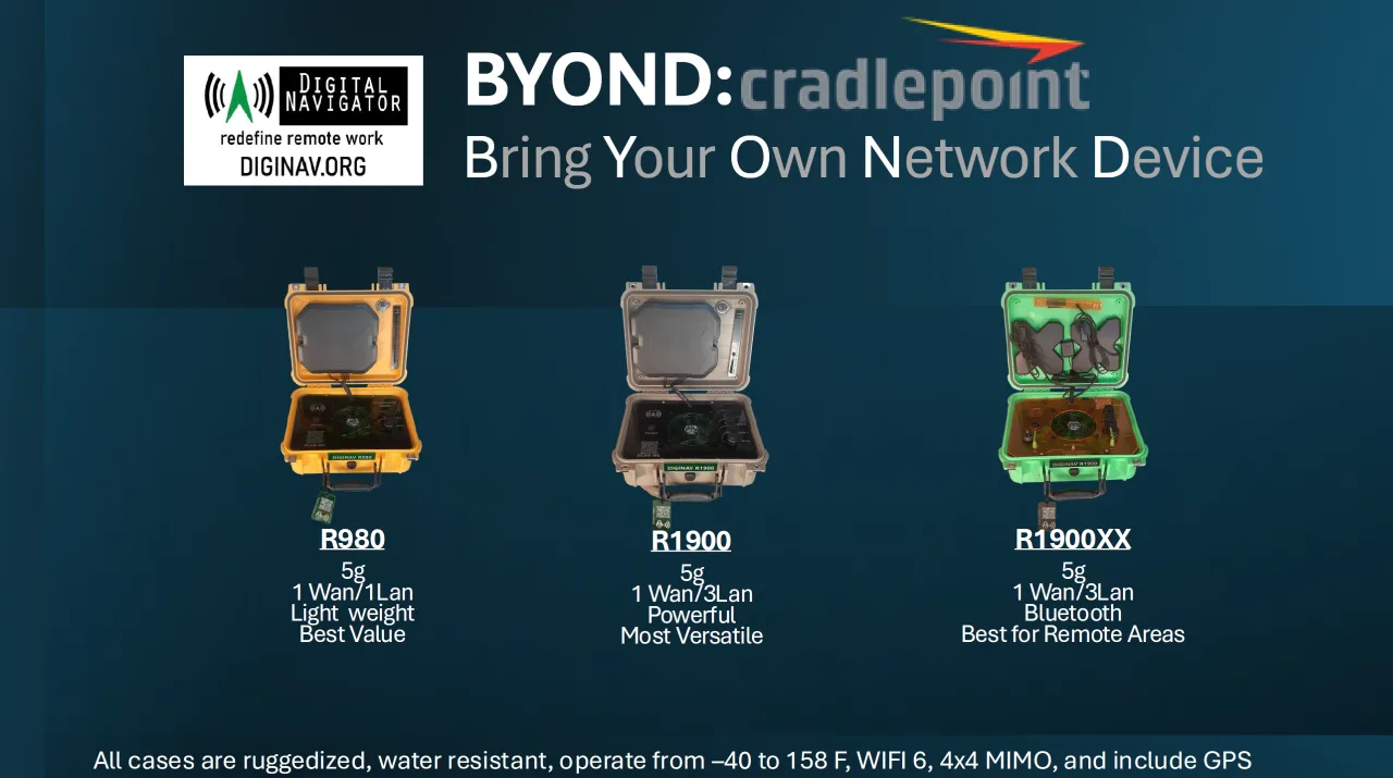
The Solution is BYOND
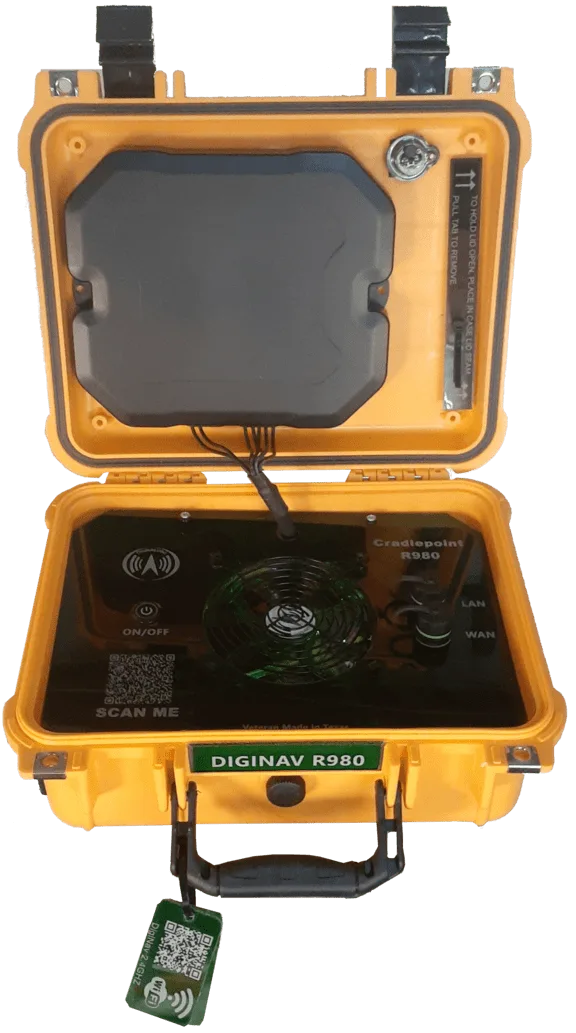
- Under 10 lbs
- User Friendly
- Rugged
- Multi-purpose
- Multi-carrier
- Secure
- 10 color options
- 5G/4G
- WIFI 6
- GPS
- Bluetooth optional
How It Works
Full-Service Data Collection & Geospatial Analysis
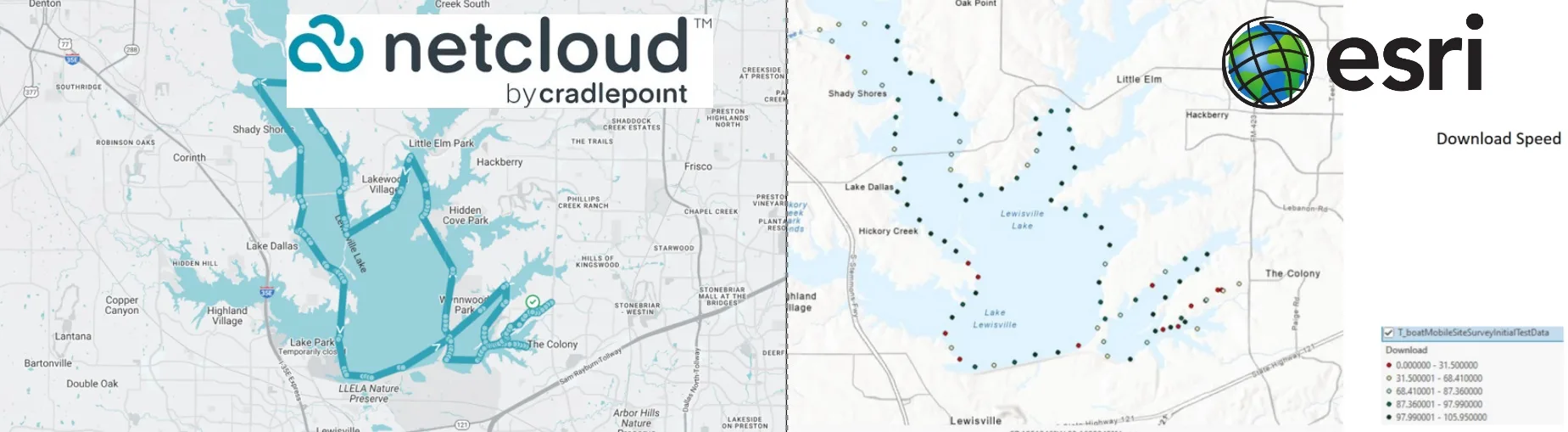
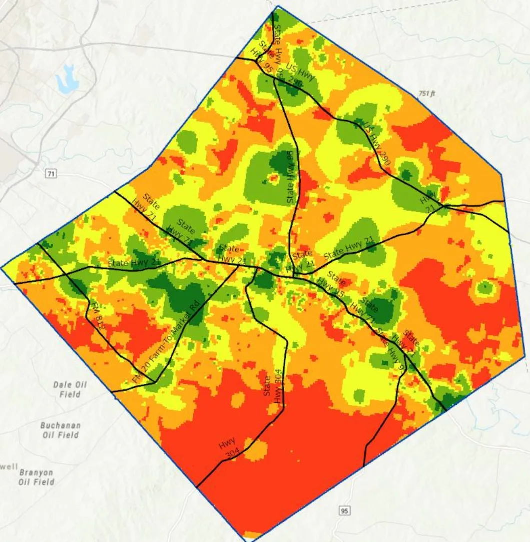
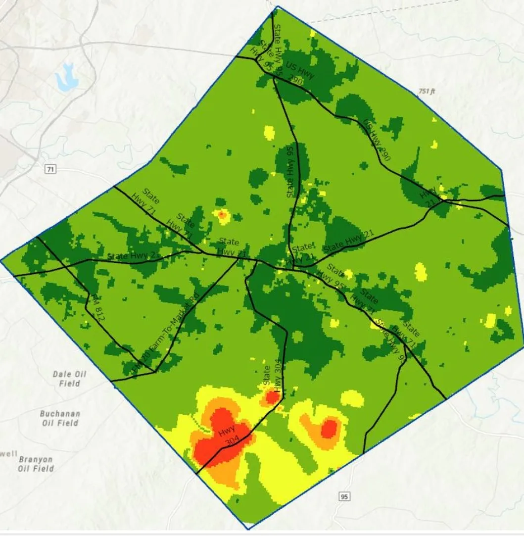
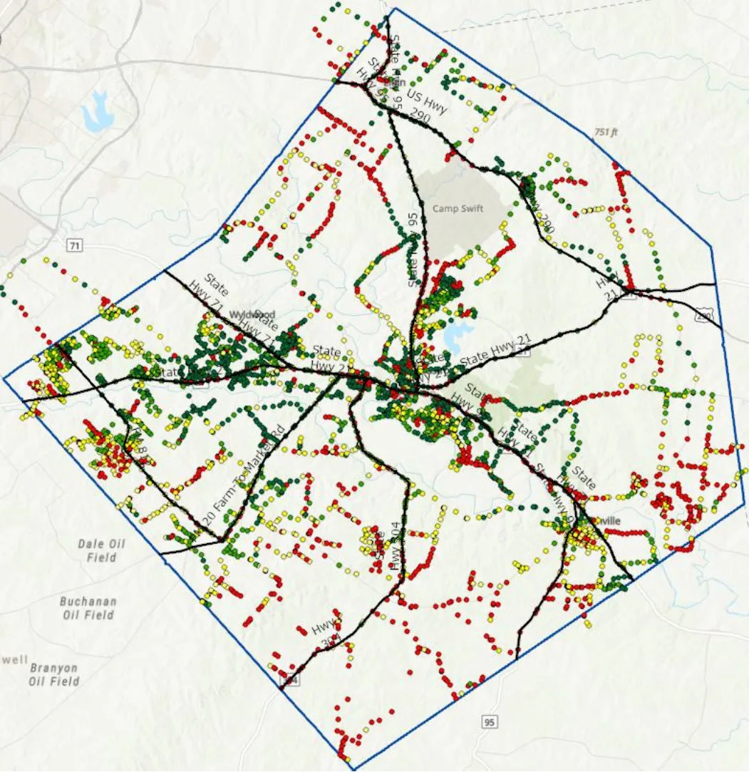
To ensure your rural broadband initiatives are backed by precise, real-world data, we offer a comprehensive, turnkey signal-mapping solution. Our team manages the entire lifecycle of the program—from hitting the road to execute the physical drive-testing and signal harvesting across your target regions, to the backend technical processing. Utilizing industry-leading ESRI ArcGIS platform tools, we transform those raw cellular field logs into high-fidelity, interactive coverage maps and spatial analyses. Whether you need us to handle the complete end-to-end deployment or step in to analyze your existing data, we deliver the actionable insights required to identify true coverage gaps, validate service claims, and optimize your infrastructure investments.
 Turn on case, it automatically starts recording.
 Just driving around records all signal info which is uploaded to the cloud as the survey is being performed

Download csv from the cloud,
import csv to ESRI.
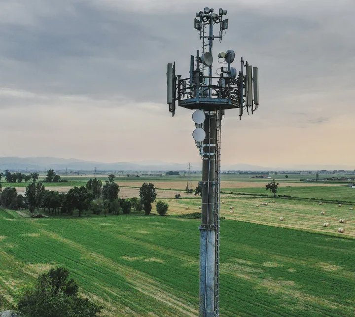
Signal Maps Include:
Time of Day
GPS LOCATION
Carrier & Cell ID
Cellular Band
Latency and Packet Loss
RSRP (Reference Signal Received Power)
RSRQ (Reference Signal Received Quality)
SINR (Signal-to-Interference-plus-Noise Ratio)
RSSI (Received Signal Strength Indicator)
MNC (Mobile Network Code) and MCC (Mobile Country Code)
ECIO (Energy per Chip per Interference)
5G SINR,RSSI & RSRP
Other Governmental Uses For Byond Cases
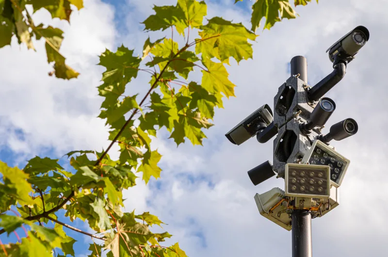
Surveillance & Traffic Control
 Disaster & Incident Command Centers
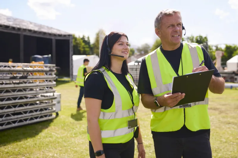
Event Coordination & Temporary Wifi

Field Inspections & Utility Work
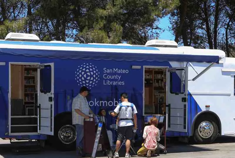
Rural Outreach & Mobile Libraries

Remote Work & Internet backup

CALL (469) 389-0189
Contest FCC Maps
Broadband Funding Grants Available